The River Gambia (Gambie)
The River Gambia meets the ocean at Banjul where Gambia’s main port is and this is where we start our journey today. We will be travelling from Banjul along its entire length to Basse Santa Su.
Its total length is 1120 kilometres and it passes through Gambia, Senegal and Guinea. At the river’s mouth, it’s a vast ten kilometres in width between Banjul on the south bank and Barra on the north.
Around the port area, we have measured its depth to be around twenty metres, although this is by no means its deepest point. As we move inland from the port, we find the river’s first islands.
Dog Island and the smaller Pelican Island
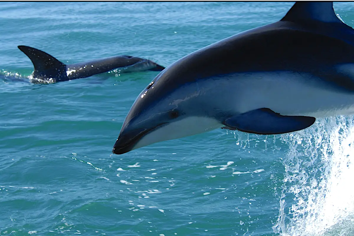
These two islands are near the north bank and it’s here that the river is probably at its deepest measuring over sixty metres in places.
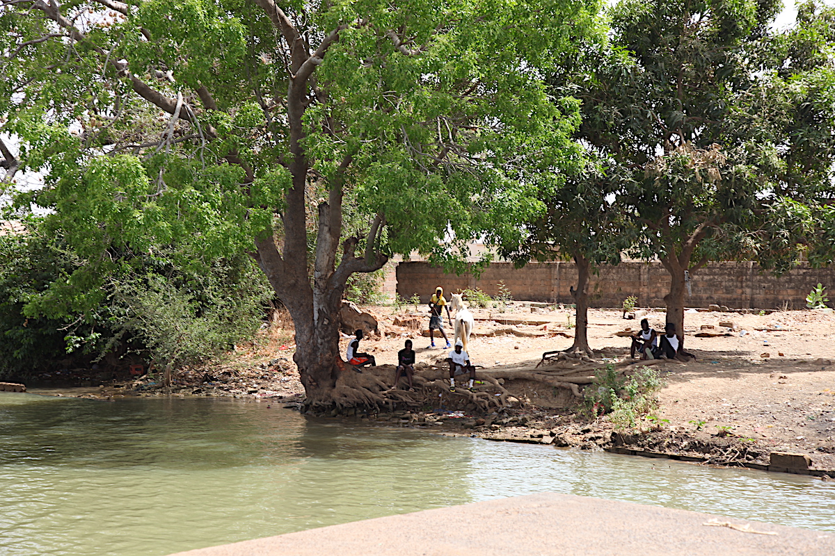
Here the water is usually slow-moving and calm.
Dolphins can often be seen here playing and at high tide huge Tarpon can be seen rolling on the surface.
Continue another twenty kilometres and James Island (now Kunta Kinteh Island) comes into view. A famous collection point for slave traders back in the day, there are still the ruins of slave houses and canon positions to be seen.
Bintang & Tendaba
At this point, the river narrows to around six kilometres north to south.
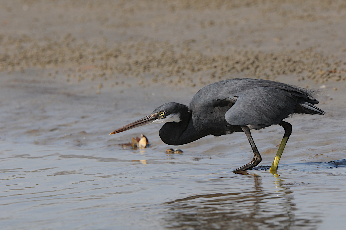
From here and heading inland, the water can often be choppy. There are deep trenches and extensive shallows all over this stretch.
You can regularly see wading birds several kilometres from land trying to get a bite to eat.
As we move inland we pass the entrance to Bintang Bolong, one of the six feeder rivers that supply The River Gambia.
And upriver, we meet Tendaba Camp, famed for its excellent bird watching environments.
Devils Elbow
Around 98 kilometres from the sea yet the river is still more than five kilometres wide. Further up from here we pass Devil’s Elbow, known by boat captains for rough water and dangerous currents. From the elbow, the river bottlenecks down to just 1100 metres. This is Farrafenni. It’s the first of only two bridges spanning the river, standing 50 metres tall and spanning 1900 metres. It’s quite a sight.
Elephant Island
After the bridge, the river width increases and soon we approach another island. Elephant Island is 17 kilometres in length and one of the biggest on the river. Some say it gets its name from the last elephant in The Gambia which was chased into the water here. Some say its name comes from it being one of the biggest islands!
We are now about 190 kilometres from Banjul and still in saltwater but the landscape begins the change. The dense mangroves that lined the river earlier are thinning and small gaps are appearing covered with grass. The palms we saw back in the lower river region are becoming rare with different species of bird. We are now approaching fresh water and the temperature here is now 4 or 5 degrees hotter than in Banjul.
Freshwater
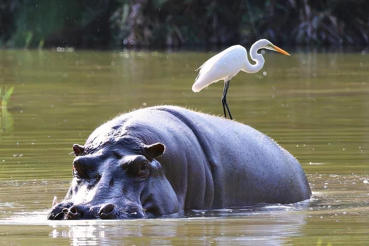
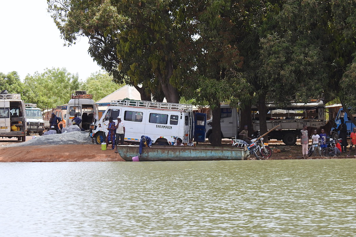
It’s at Kaur the water becomes fresh and from here it’s possible to see Hippos cooling themselves in the water and waiting for nightfall to climb onto land and graze.
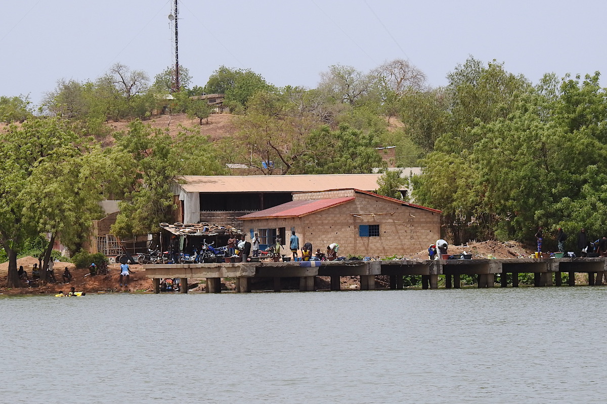
As we float past the small village we see a big warehouse on the water’s edge, it’s used to store peanuts until the barges are towed here from Banjul to collect them and be pulled back down river for export.
These peanuts, known as monkey nuts or ground nuts have been a staple diet in The Gambia for hundreds of years and remain one of Gambia’s biggest cash crops.
It is from these nuts that Domada is made, a rich sauce of blended peanut, chilli, and tomato usually made with chicken and served of course with rice.
Kuntaur
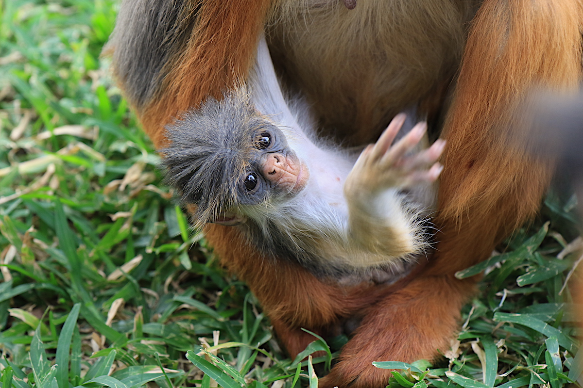
Thirty kilometres more and we pass Kuntaur a small village on the water’s edge opposite here red colobus monkeys can regularly be seen.
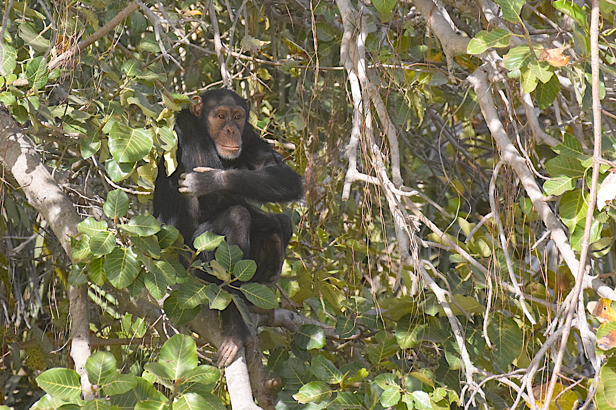
Just two kilometres further and we find ourselves in the River Gambia National Park, rangers meet us and join the boat to guide the guests through with their expert knowledge.
A program was started here forty years ago to reintroduce chimpanzees and other primates to the five islands and has proven very successful.
Jurassic Park
The islands are covered in mahogany trees and other large hardwood trees giving a somewhat Jurassic feel to them.
Heading inland and leaving the park the land looks very different. Now the crops of local villages reach the water’s edge and we are just forty kilometres from the island of Janjanbureh.
6 Junction & Janjanbureh
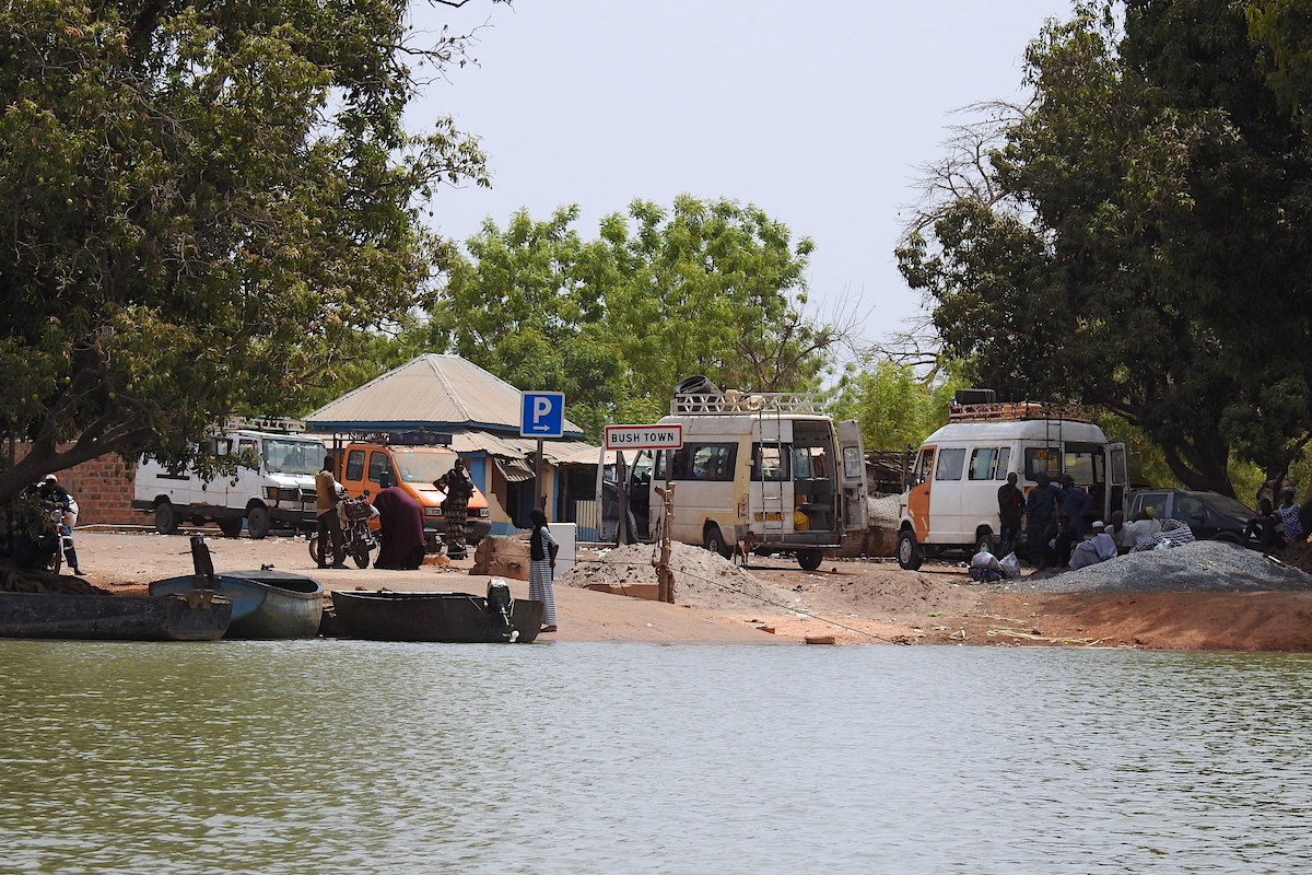
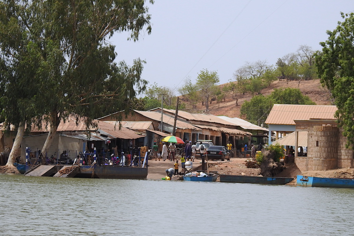
First, we have to navigate many islands all in one area, known by locals as 6 junctions. Once through, it’s plain sailing to Janjanbureh, the former colonial capital of The Gambia and major trading post for peanuts, cotton, fruit and vegetables.
In the past, it’s had several names such as Georgetown and MacCarthy. Now it has some small bars and lodges for travellers to relax in.
Bansang & Basse Santa Su
We continue inwards passing Bansang, well known for flooding in the rainy season.
Here the river has narrowed to just 200 metres. It’s now just 60 kilometres to Basse Santa Su, the last big town on the river inside The Gambia.
Here, the river narrows again to just 100 metres and to navigate further only small boats can be used.
Basse Santa Su is 430 kilometres from the river’s mouth and the river winds through the land for a further 88 kilometres bringing us to the last settlement on the river within the Gambia’s border with Senegal.
Written by Ged Brown.
Note from the author. The River Gambia and its settlements are as old as time and the best way to experience it is slowly. Take a peek at how Fairplay can help you do exactly that or join our Facebook followers here.